Mt. Ruapehu, New Zealand
Rock Skiing, anyone?
March, 2016
Click on any image for a larger view;
Contact garya at this domain if you would like the high quality image for printing
While I was hiking the Tongariro Crossing,
Dona decided to check out another nearby volcano,
Mt. Ruapehu.
She had done the Tongariro Crossing about a decade earlier,
and this was a good excuse to explore someplace she hadn't seen yet.
She particularly wanted to see more of New Zealand's native fauna.
 |
Mt Ruapehu
Photo by Dona |
 |
 |
Grass and Heather
Photo by Dona |
Stream
Photo by Dona |
 |
 |
Ground Ferns
Photos by Dona |
 |
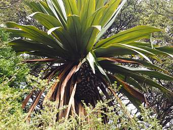 |
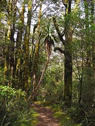
Cabbage Palm (Cordyline Australis)
Photos by Dona |
 |
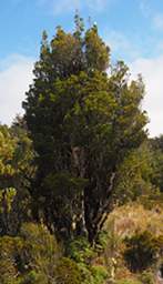 |
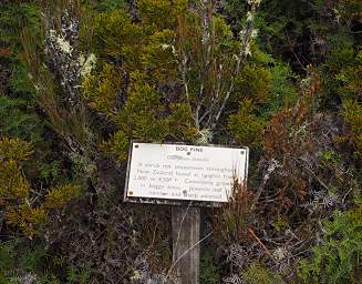
Bog Pine
Photo by Dona |
Tree Xxx Bog Pine?
|
 |
 |
Flower Xxx White Yellow
Photo by Dona |
Heather
Photo by Dona |
Mt. Ruapehu is a ski area, complete with all the usual ski-area razz-a-ma-tazz.
Dona caught a ride up a ski lift.
But as she said afterwards,
they need a heck of a lot of snow before you want to try it out.
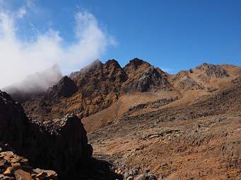
Ouch!
You could tear up a pair of skis in a hurry on all that lava.
 |
 |
Mt. Ruapehu Ski Town
Photos by Dona |
 |
 |
Rock Skiing, anyone?
Photos by Dona |
 |
Condos
Photos by Dona |
 |
 |
Ski Terrain
Photos by Dona |
 |
Ski Trail Map
Photo by Dona |
 |
 |
Ski Terrain?
Photo by Dona |
Looking Downslope
Photo by Dona |
Apparently they were enlarging the area and putting in a new lift.
They had a helicopter hauling concrete up to pour foundations for the lift towers.
 |
 |
Helicopter WCocrete
Photo by Dona |
From where she was, Dona had an outstanding view of Mt. Ngauruhoe!
 |
Mt. Ngauruhoe
Photos by Dona |
 |
Mt. Ruapehu
Photo by Dona |
Then she drove back over to where we were supposed to meet up
and started hiking up the trail to meet me.
 |
Mt. Ngauruhoe
Photo by Dona |
 |
 |
Flower Xxx White Yellow
Photo by Dona |
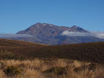 |
Mt. Ruapehu
Photo by Dona |
 |
Gary, Mt. Ngauruhoe
Photo by Dona |
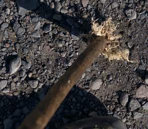 |
The Tip of my impromptu Walking Stick
Picked up at the start
and worn down by tough rock |
We arrived back at the car about 16:02,
so it had taken me 07:47 total time to hike to Tongariro Crossing "backwards.".
Actual hiking time was probably closer to five hours
given the hours I spent waiting for the clouds to thin out.
We headed out of the park under mostly blue sky,
looking for the nearest campground in our intended direction.
But we had to pull off and enjoy the incredible panorama of volcanoes on the horizon.
 |
| Mt. Ngauruhoe and Mt. Ruapehu |
 |
| Mt. Ngauruhoe, Mt. Ruapehu, steam vents on left |
 |
| Mt. Ngauruhoe and Mt. Ruapehu |
 |
Mt. Ruapehu
Photo by Dona |
 |
Mt. Ngauruhoe
Photo by Dona |
We consulted our
brochure of campgrounds
from the New Zealand Department of Conservation
and found one nearby.
After some wrong turns and a lot of poking around
we made our way to the
Urchin Campground
near the
Pillars of Hercules.
 |
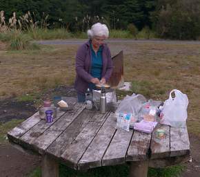 |
| Urchin Campground, Tree Trunk Gorge |
Dona Cooking Dinner |
The next morning we headed down the trail to see what we could see.
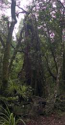
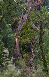
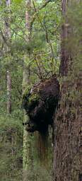
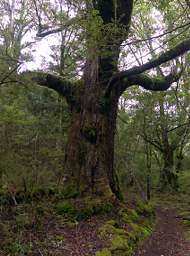
It was a nice walk through native forest.
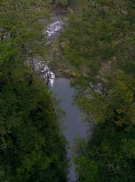
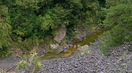
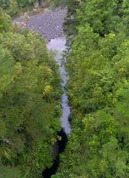
We came to the bridge over the Tongariro River,
which was mostly dried up.
The river squeezes through a fairly narrow gorge;
at high flows it must be impressive.
But at this level it would have been more fun to be down in the river bottom poking around.
It's not at all clear to me exactly what the "Pillars of Hercules" are in this context.
The bridge is supposed to be at the Pillars of Hercules,
and I suppose if I knew anything about Greek mythology this would all be obvious.
I expected to see some great looming rock walls on either side of the river,
but it's not that high.
I guess it's the Pillars of Hercules just because it is a place where the narrow slot of the river
breaks into the open on the other side.
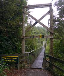 |
| Pillars Of Hercules Bridge |
 |
 |
| Inkberry (Turutu) (Dianella Nigra) |
Then we headed north through the
Taupo area,
on our way to visit friends in Rotorua.


