
After turning in our bikes from our ride on the Otago Rail Trail, we caught a bus to Queenstown , where we had reserved a place to stay for the night and a rental car for a week or so.
 |
| Southern Alps near Queenstown |
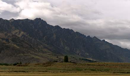 |
Queenstown is the outdoor adrenaline rush center of New Zealand, but it was too much of a zoo for our tastes. The next morning we grabbed a bite to eat and our rental car and headed out of town. As we headed over a the pass just north of town we encountered some paragliders.
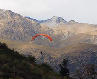 |
| Paraglider
|
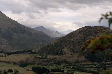
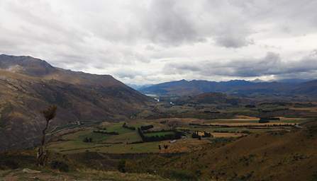
In spite of the clouds, you could see things were dry. Queenstown is in the transition zone between the dry area of Otago and the wet area of the southwest coast. It was easy to tell the difference between irrigated and non-irrigated pastures; many of the hillsides were yellow with dried grass.
 |
 |
| |
|
| Near Queenstown | |
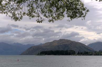
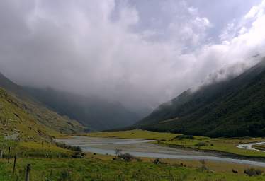
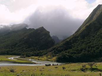
We were heading towards Mt. Aspiring National Park, hoping that we'd get a glimpse of Mt. Aspiring and a nice hike up to Rob Roy Glacier. We headed up along the south shore of Lake Wanaka and then up the Matukituki River valley. The road steadily deteriorated and for the last few km we had numerous rocky fords and pretty slow going. Our rental car wasn't really designed for this, but they didn't tell us not to go there...
 |
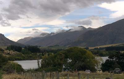 |
| Lake Wanaka | |
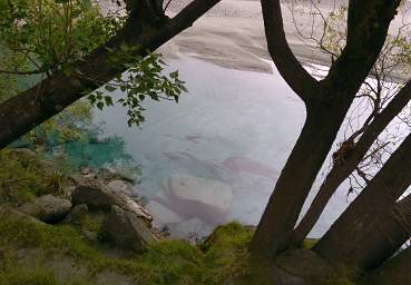
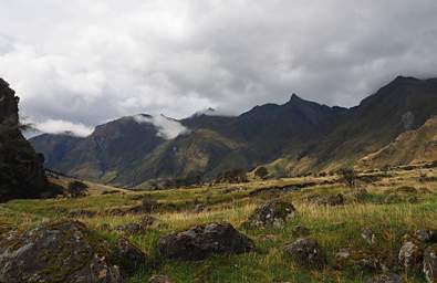
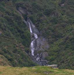
The weather slowly deteriorated once we passed Lake Wanaka and started heading up the Matukituki River valley. But the scenery got steadily more dramatic. Waterfalls poured off the rock walls of the valley, and pieces of glaciers started peeking through the clouds.
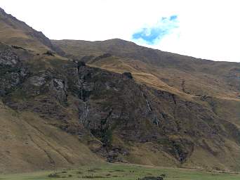 |
| Waterfalls |
 |
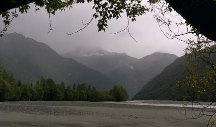 |
| Matukituki River, Mt. Aspiring in the Clouds | |
After inching our way carefully through a few more rocky fords we came to the trailhead at the end of the road. As we headed up the trail I imagined the clouds unloading copious amounts of rain, raising the river and creeks to some sort of high-water point. It didn't seem too out of the question, but what the heck, if we got stranded it would go down eventually. I put it out of my mind and decided to enjoy the hike.
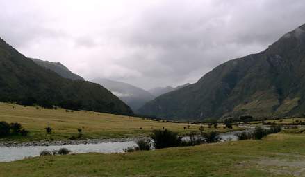 |
| Matukituki River |
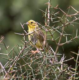 |
| Yellowhammer (Emberiza Citrinella) |
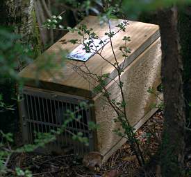
As in every other natural area we had visited thus far in New Zealand (and all those we would later visit), there were small mammal traps out everywhere in an attempt to keep the introduced invasive predators under control. I kept looking in them but never found one with a victim. That could be either a good sign or a bad sign. It would be good if it indicated most of the baddies had already been caught and were mostly in decline; it would be bad if the baddies were learning to avoid the traps.
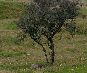 |
| Mammal Trap |
 |
 |
| Matukituki River Valley
|
Waterfall |
We came to a fork in the trail, and had to make a choice. If we stayed to the left we would head up the valley towards the Mt. Aspiring hut. Looking at the map, we might get a nice view of Mt. Aspiring — if the clouds lifted enough to see anything at all. If we went right and crossed the river, we would be on a hike up to the snout of Rob Roy Glacier, which seemed pretty much socked in at the time.
 |
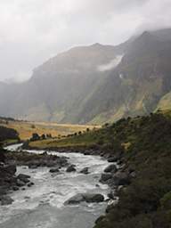 |
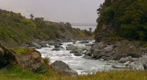
| Rob Roy Glacier Trail Bridge over Matukituki River | Matukituki River Valley
|
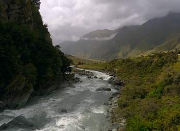 |
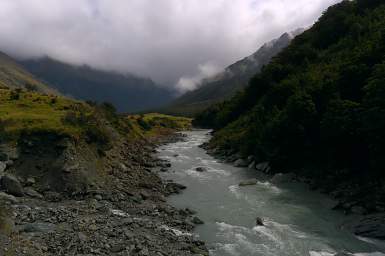 |
| Looking Downstream from Bridge | Looking Upstream from Bridge |
I over-ruled Dona and claimed we should hike up the river towards the Mt. Aspiring hut. We passed by the bridge and headed up the river.
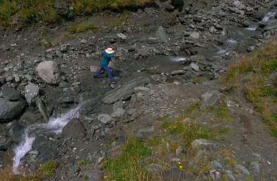 |
| Dona Crossing Creek |
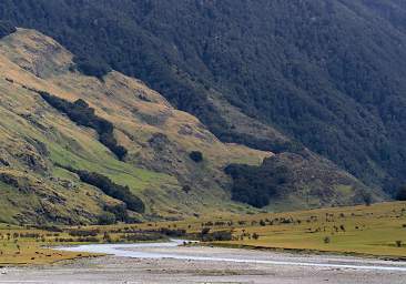 |
 |
| Matukituki R. | Matukituki R. Valley |
 |
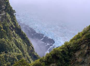 |
| Bad Weather on Rob Roy Glacier and Mt. Aspiring | Rob Roy Glacier |
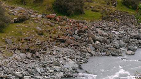
There was some eye-popping bright red lichen on some of the rocks.
 |
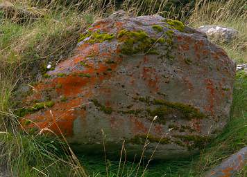 |
| Red Lichen | |
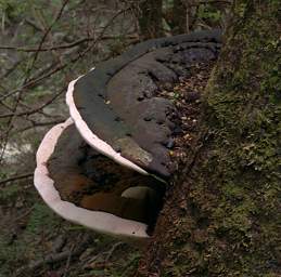
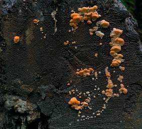
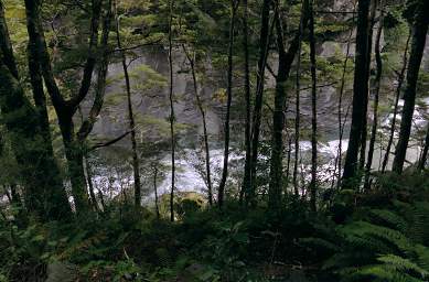
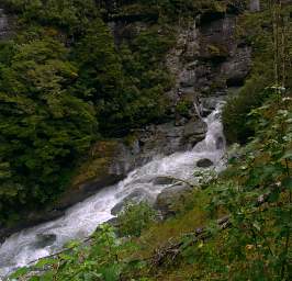
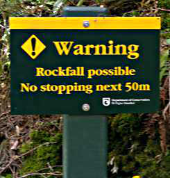
It soon became apparent we weren't going to a great view, and it looked like Mt. Aspiring was just something we could aspire to see. So we backtracked and headed up the trail to Rob Roy Glacier, hoping to at least get a better view of it. The trail wound into the forest primeval, where we encountered animal traps, fungi, elvin creeks, and menacing house-sized boulders just waiting to crush us at any minute. How long had it been there, just waiting for an unsuspecting hiker to pass by? Would our time be up? Apparently the New Zealand Department of Conservation was concerned it might be.
 |
 |
 |
 |
 |
 |
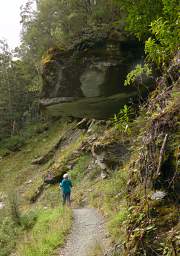 |
| The world is a dangerous place. We sure are glad they warned us.
You'd think we were in the U.S.A. and they were worried about litigation. I think it's still there, inspite of all the earthquakes. |
|
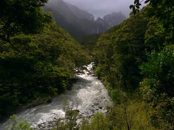
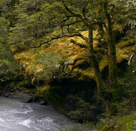
The creek was boisterous with occasional pools surrounded by lush moss-covered rocks; we got tantalizing glimpses of the glacier and a waterfall at the head of the valley.
 |
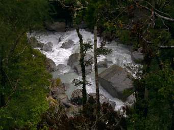 |
| Rob Roy Glacier Creek | |
 |
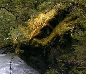 |
| Moss Covered Rock | |
We found this plant with a lot of orange berries which I haven't been able to learn anything about.
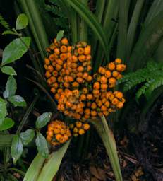 |
| Orange Berries |
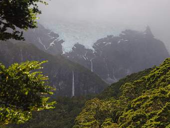
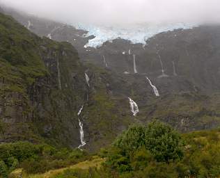
After a fair bit of uphill work, we came to a big waterfall-filled cirque with Rob Roy Glacier hanging over everything. About all we could see of the glacier itself was the terminus, but we got a great view of the waterfalls. We got narry a glimpse of Mt. Aspiring. Pooey! Some other time... I suspect it is pretty spectacular on the two days a year when the sun is shining ;-)!
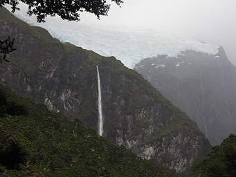 |
| Rob Roy Glacier and Waterfall
|
 |
 |
| |
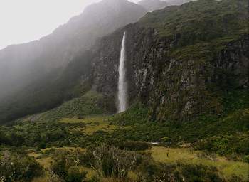 |
| Falls below Rob Roy Glacier |
We headed back down the trail, encountering enchanted trees along the way.
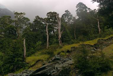 |
| Enchanted Trees and Snag |
We didn't see much wildlife, but Dona did manage to find the elusive Rifleman, a seldom-seen native bird that looks like it has not tail.
Interestingly, the Rifleman recently allowed geneticists to upset the apple-cart regarding New Zealand's geologic history. Conventional wisdom was that New Zealand was completely under water about 25 million years ago. That implies all flora and fauna had to have colonized and evolved within the last 25 million years. The Rifleman shares a common ancestor with other wrens roughly 50 million years ago, but it is a poor flier and could not colonize New Zealand from Australia by flying over the ocean. It would have to have arrived at a time when New Zealand was connected via a land bridge, which was roughly 50 million years ago. That implies at least some land on New Zealand was above water the whole time.
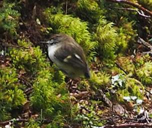 |
| Rifleman (Titipounamu) (Acanthisitta Chloris)
|
 |
 |
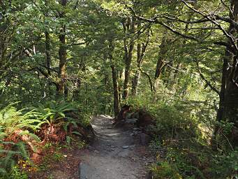
| Trail through Beech Forest
|
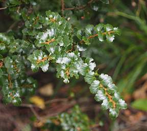
Celery Pine (Tanekaha) (Phyllocladus Trichomanoides)
|
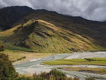
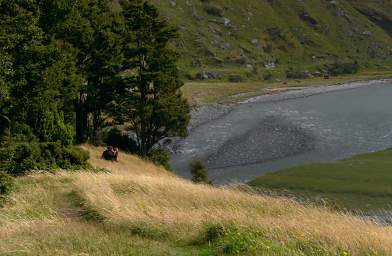
As we approached the valley floor, the sun occasionally burned through a bit and lightened up a spot or two. A young man who had passed us on the trail pulled off and sat down on a grassy knoll. He reminded me of myself about 40 years ago, thinking forward and wondering what life had in store. Would the world always be a beautiful but lonesome place?
 |
 |
| Matukituki Valley
|
Hiker Contemplating Matukituki River and the World |
As we approached the parking lot, a full rainbow appeared down the valley.
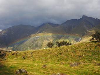 |
| Matukituki Rainbow
|
The native forests of New Zealand are populated with three different kinds of Beech trees. They have very different leaves, at least to me. We encountered all of them, but sometimes didn't identify them as such. Here's a good reminder:
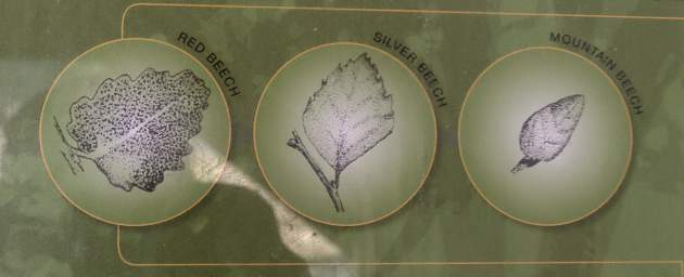 |
| Beech Tree Leaf Types |
We hopped in the car and headed out, carefully threading our way through the fords. At least they hadn't flooded while we were out hiking. On the way out we encountered a huge rock monster which someone had slain or which was just taking a nap. It was covered with large scales which looked like a raggedy coat. We didn't stop to investigate, as we didn't wish to disturb it.
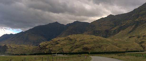 |
| Rock Monster |
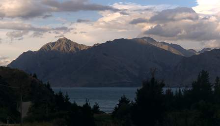
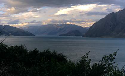
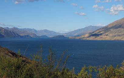
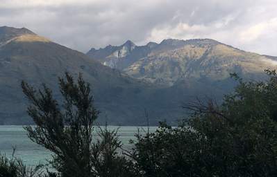
We headed back out into the dry country, then west past Lake Hawea and Lake Wanaka towards Haast over Haast Pass.
 |
 |
| Lake Hawea | |
 |
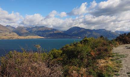 |
| Lake Wanaka
|
|
 |
On to Haast Pass.