We made sure our extra fuel container was full, then left Same and arrived at the gate to Mkomazi National Park bright and early. We paid for two days, and when they asked where we would be spending the night we gave them the name of a campground we had read about which was about half way down the park. The ranger wrote that down and indicated all was good, then handed us a map of the park and we headed off. The map was great; or at least it looked good on paper. It had a few more roads and features on it than the ones we had brought with us, which were poor at best.
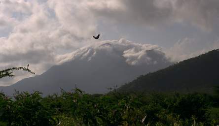
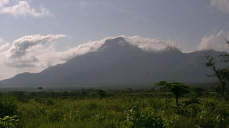
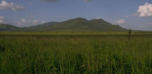
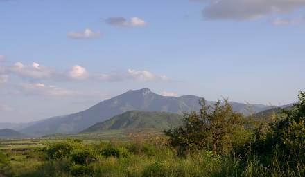
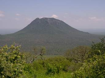
The northern gate where we entered is at the base of the Pare Mountains, and the setting is wonderful.
 |
 |
| Pare Mountains from Mkomazi | |
We stopped the car within a few hundred yards of the gate because there were so many birds flitting around. From that point on, our progress was leisurely. In short order we came to a signpost. Wow! An actual road sign. We compared it to our new map and it matched up perfectly. Whoppie! We headed south, planning on making a big circuit around the northern half of the park, and camping at a campground near the bottom part of the loop.
 |
 |
 |
 |
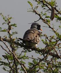
| Namaqua Dove
Photo by Dona |
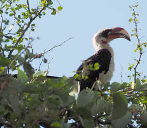
Von Der Deckens Hornbill
Photo by Dona |
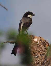
Long Tailed Fiscal Shrike
Photo by Dona |
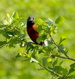
Chestnut Weaver
Photo by Dona |
 |
 |
 |
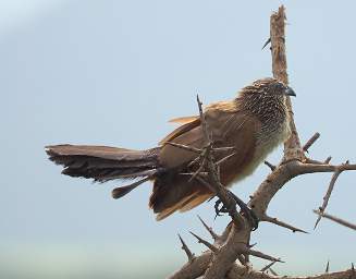 |
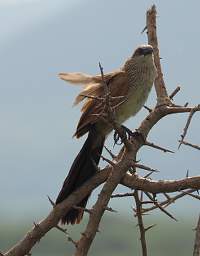
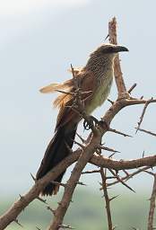
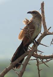
| Black Coucal
Photo by Dona |
|||
 |
 |
| Xxx
Photos by Dona |
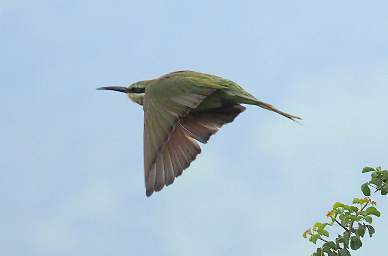
Bee Eater Flying
Photo by Dona |
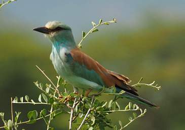 |
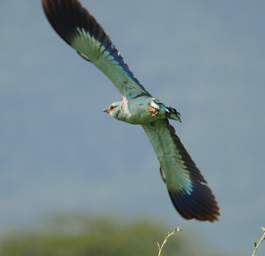 |
| European Roller
Photos by Dona |
|
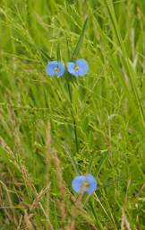 |
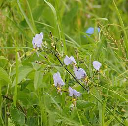 |
| Flower Xxx Blue
Photo by Dona |
Flower Xxx Blue
Photo by Dona |
 |
 |
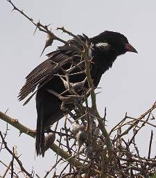
| Red Billed Buffalo Weaver
Photo by Dona |
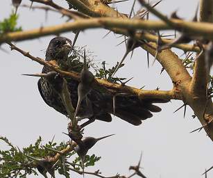
Xxx Red Billed Buffalo Weaver F
Photo by Dona |
 |
 |
 |
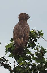
| Brown Snake Eagle
Photo by Dona |
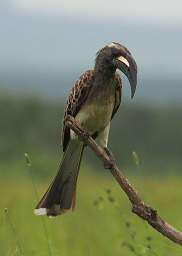
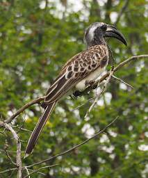
African Grey Hornbill
Photo by Dona |
|
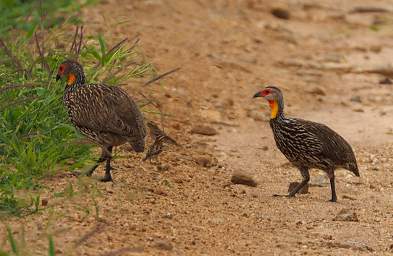 |
| Yellow Necked Spurfowl
Photo by Dona |
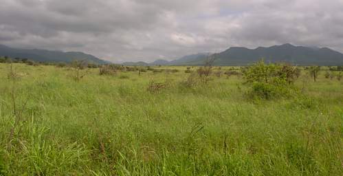 |
| Mkomazi |
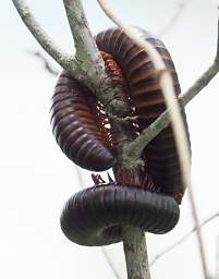 |
| Millipede
Photo by Dona |
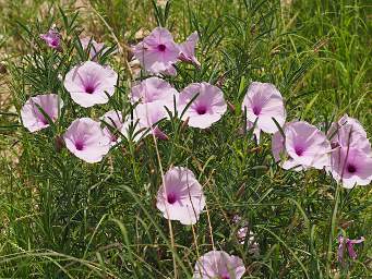 |
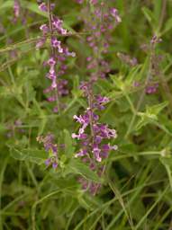 |
| Flower Xxx Pink
Photo by Dona |
Flower Xxx Violet |
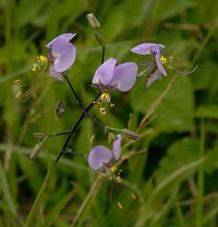 |
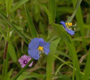 |
| Flower Xxx Lavender | Flower Xxx Blue |
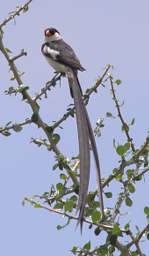 |
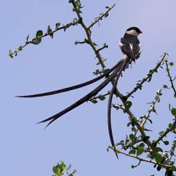 |
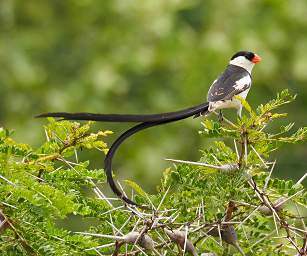 |
| Photo by Dona | ||
| Pin Tailed Whydah | ||
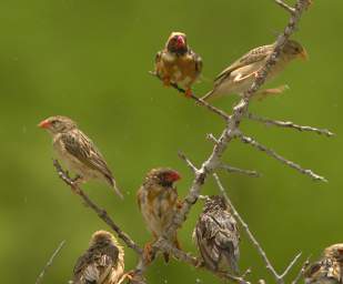 |
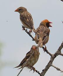
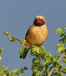
| Red Billed Quelea |
 |
 |
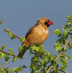 |
| Red Billed Quelea
Photos by Dona |
||
 |
 |
 |
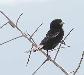
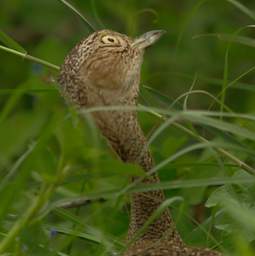
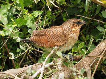
| Xxx | Black Coucal
Photo by Dona |
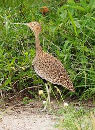
White Bellied Bustard
Photo by Dona |
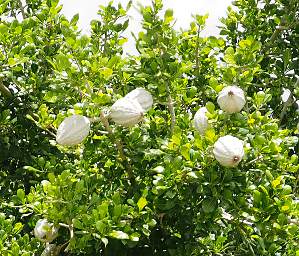 |
| Tree Xxx Blossom
Photo by Dona |
 |
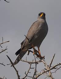 |
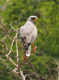
| Eastern Chanting Goshawk
Photos by Dona |
|
We got down to the Kisima Airstrip via Babu's Camp, which was where our road was supposed to start looping to the east. And that was the point where reality and the map diverged. There was a sign, but it didn't match either the map we had brought from home, or the new park service map we had been given that morning. We knew where we were, and we knew where we wanted to go, but apparently you couldn't get there from here. The maps said you could, but the ground didn't. We headed towards Kaveteta, we thought. Up until then the signs had made sense. This sign said "Maore Dam and Ranger Station" to the left, and "Kifukwa R.S. and Kamakota Special Camp" to the right. We went left, over a rougher 4wd road, past a marsh and over a divide to where we could see into what we thought must be Tsavo West National Park in Kenya. It was getting late and we had no chance of making our intended circuit to camp, since we were basically lost. The signs didn't make sense, although the general direction did. So we turned around and backtracked.
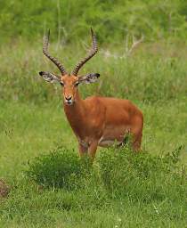 |
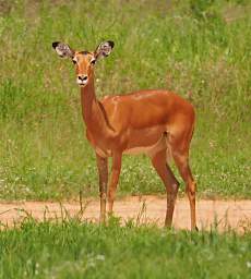 |
| Impala
Photos by Dona |
|
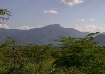
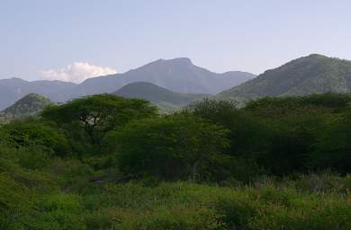
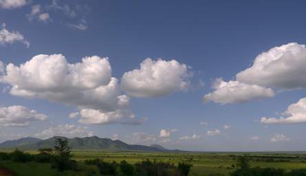
We hoofed it fairly quickly back to near the gate where we entered, then headed for a different camp marked on our map, near the Ibaya airstrip. This route had more varied and interesting terrain, and we enjoyed our search for wildlife.
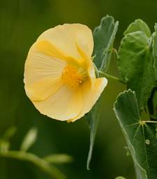 |
 |
| Flower Shrub Xxx
Photo by Dona |
Flower Xxx Yellow
Photo by Dona |
 |
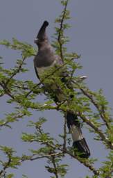 |
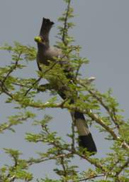
| White Bellied Go Away Bird | |
 |
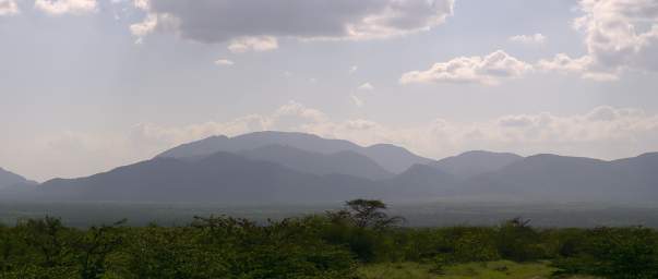 |
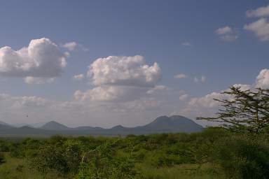
| Mkomazi | Mkomazi |
 |
 |
| Mkomazi | Mkomazi |
 |
| Mkomazi |
 |
| Mkomazi |
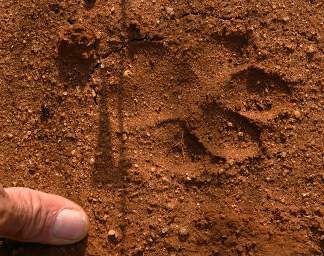 |
| Mkomazi Cat Tracks |
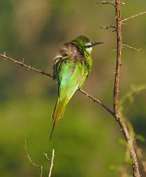 |
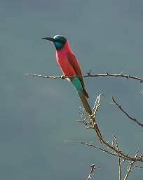 |
| Little Bee Eater
Photo by Dona |
Northern Carmine Bee Eater
Photo by Dona |
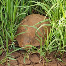 |
| Mkomazi Tortise
Photo by Dona |
We found the airstrip, but no obvious signs of a camp. It was a brushy area with two to three foot high grass. There were some falling-down buildings from an old abandoned research camp on a nearby hillside, overgrown with brush, trees, and tall grass. The day was fading towards dusk, and Dona opined that "This isn't Montana," so we backtracked again and headed to the camp a few km from the Zange gate.
That camp had a large cleared off area with some planted trees and a bathroom facility, which was locked. It was better than the Elephant Motel by far, but not what camping at the airstrip would have been.
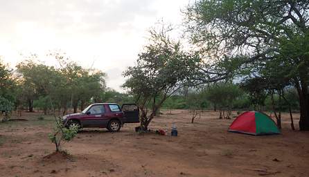 |
| Mkomazi Camp near Zange Gate
Photo by Dona |
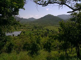
The next morning we headed off on another planned circuit, more-or-less our original plan in reverse. We worked our way back out to the abandoned research station and Ibaya airstrip, then on to the Dindira Picnic Area / Overlook, which has a good view over the surrounding area including the waterhole behind Dindira Dam.
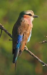 |
 |
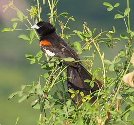 |
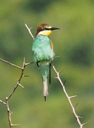 |
| Lilac Breasted Roller
Photo by Dona |
Blue Capped Cordon Bleu
Photo by Dona |
White Winged Widowbird
Photo by Dona |
European Bee Eater
Photo by Dona |
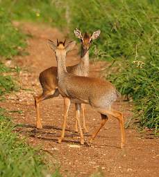 |
| Dik Dik
Photo by Dona |
 |
 |
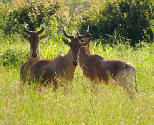 |
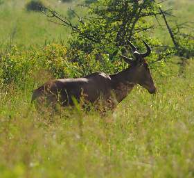
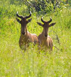
| Mkomazi Hartbeest
Photo by Dona |
||
 |
 |
 |
 |
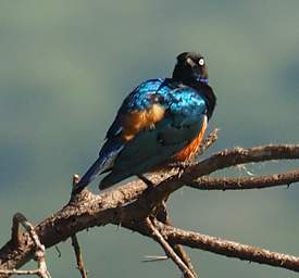
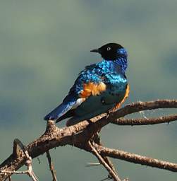
| Superb Starling
Photo by Dona |
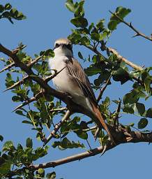
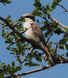
Isabelline Shrike
Photo by Dona |
||
 |
| Mkomazi |
 |
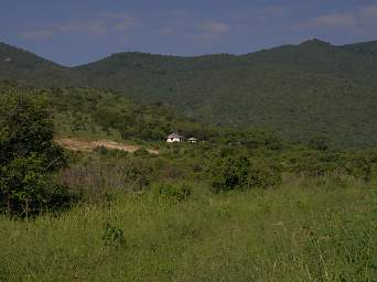 |
| Mkomazi | Old Research Station above Ibaya Airstrip |
 |
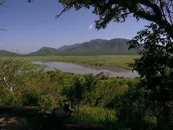 |
| Dindira Picnic Overlook | Dindira Reservoir |
The sign by the picnic area said "Dindira Special Camp 2km" and "Vitewini Pt 6.5km + 3.5km". Vitewini Point wasn't on our map, but it seemed like the right way to go so we headed that way. It was a bumpy ride; we could have used a more beat-up higher-clearance vehicle. But we made it and had a great view.
 |
| Mkomazi |
 |
 |
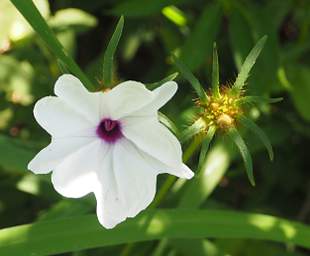 |
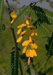
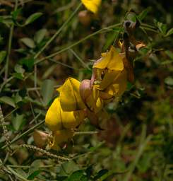
| Flower Xxx Yellow | Flower Xxx Yellow | Flower Xxx White
Photo by Dona |
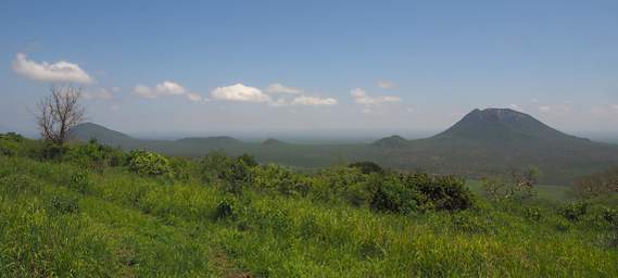
When we got to Vitewini Point we didn't really know what we were looking at. Unfortunately, we didn't see much big wildlife roaming around down there, which would have been more fun. The entire landscape was green and lush; it was difficult to imagine it in the dry season.
We backtracked from Vitewini point, for once again the signs didn't match our maps, and the road which descended from the saddle where we turned off to the point itself seemed to deteriorate a bit. I was pretty sure we could get down it, but I wasn't all that sure we could get back up. And since we didn't have an adequate map, there was always the chance we would be heading off into Kenya, which didn't seem like a good idea. Next time we will come with more time, real maps, and a better vehicle and camp set-up.
 |
| View from Vitewini Point |
 |
| View from Vitewini Point
Photo by Dona |
 |
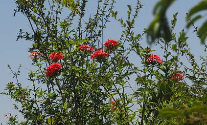 |
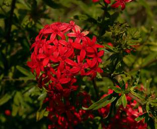
| Flower Xxx Red | Flower Xxx Red
Photos by Dona |
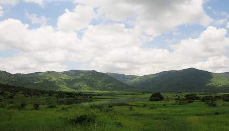 |
| Mkomazi
Photo by Dona |
 |
| Mkomazi |
 |
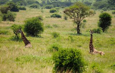 |
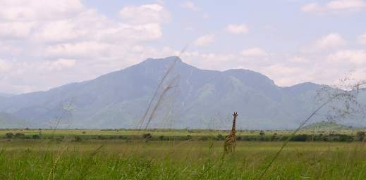
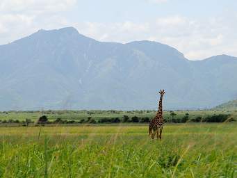
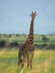
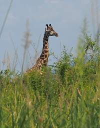
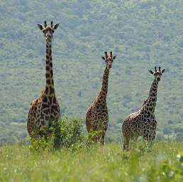
| Giraffes
Photos by Dona |
|
 |
 |
 |
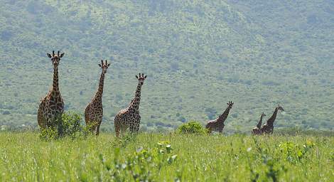
| Giraffes
Photos by Dona |
||
 |
| Giraffes
Photo by Dona |
 |
 |
 |
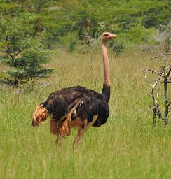
| Ostrich
Photo by Dona |
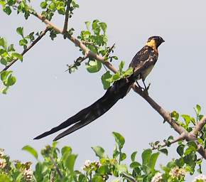
Eastern Paradise Wydah
Photo by Dona |
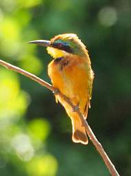
Little Bee Eater
Photo by Dona |
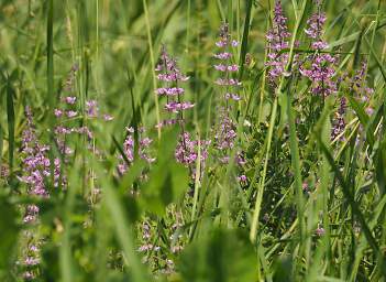 |
| Flower Xxx Lavender
Photo by Dona |
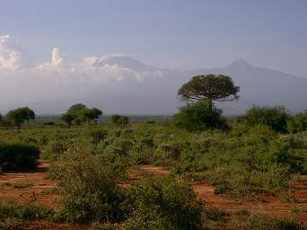
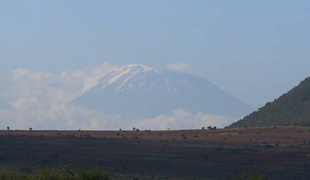
We left Mkomazi part in late afternoon and headed north towards Marangu and the Kilimanjaro area, where we would to spend our last night in Tanzania. Kilimanjaro was sticking its head out and we had some nice views on our way north, although it was still hazy.
 |
 |
| Photo by Dona | |
| Kilimanjaro | |