Water of the Great Australian Bight beyond
We left Corona using the Fatman Barge, being pulled by its cable as it ferried us across the Pieman River. Then we pointed our noses towards the south end of Cradle Mountain and Lake St. Clair National Park. We weren't expecting a lot along the way, but we ended up taking our time. It was a very pretty drive, with much to see along the way. Some not so pretty, but interesting.
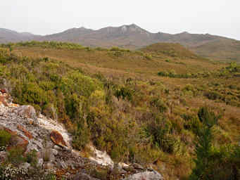
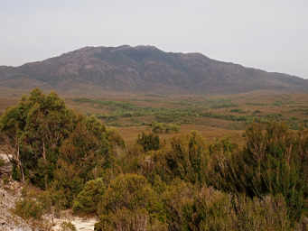
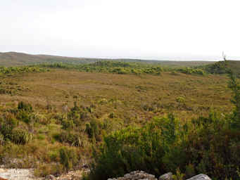
As we wound our way up out of the river bottom, we had great views of the surrounding high plains. It seemed like a dry landscape, or at least a very thin-soiled one.
 |
 |
 |
| High Plains | High Plains,
Water of the Great Australian Bight beyond |
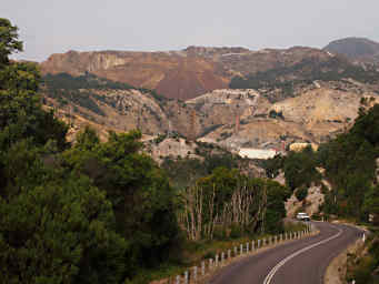
Then we dropped down into mining country. You could see it coming a long ways away, from the huge scars of the open-pit mine near Zeehan.
 |
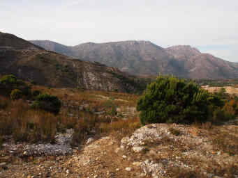 |
| Zeehan | Near Gormanstown |
We took a short detour to the overlook into the Iron Blow Mine, first prospected in 1883. It is the first mine site on what is known as the Mount Lyell field. Like many mines, it started as a gold mine, but its real value was in another metal -- copper. Mining in this area has been going on for more than a century. From the signs at the mine overlook:
Known by locals as 'Gormie', it is one of a string of local towns created in mud, forests, valleys and mountains, only to be destroyed by human weakness. They were the product of a bitter feud between two mining men and their rival companies. The men, James Crotty and Bowes Kelly, had by the end of the 1880s each built their own major mine, smelters, railway, port and series of towns, housing a total of 10,000 people.
Crotty had the richest mine, North Lyell, which suffered from poor management and financial blunders. Kelly's Mount Lyell Mining Company had astute leadership but diminished ore reserves. A merger was inevitable.
Locals waited nervously to see which railway, port and towns would die. The agreement was signed in 1903 and went against the North Lyell Company.
The town of Darwin, south of here, was abandoned almost overnight. Crotty was soon deserted -- its site is now below man-made Lake Burbury. Pillinger, at Kelly Basin, with brand new wharves, houses, shops and brickworks, lingered for a few years. Gormanston and its sister town, Linda, despite much adversity, have managed to survive with a permanent population of around 50 people. New recreation opportunities rather than mining are now the life blood of the communities.
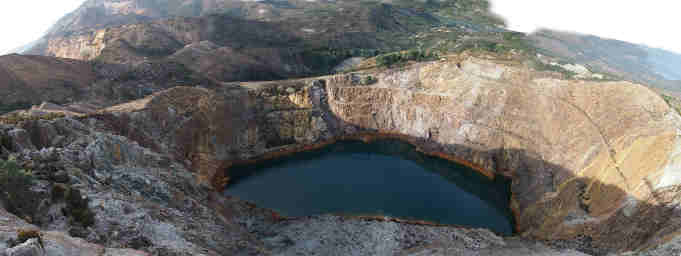 |
| Iron Blow Mine |
We left the Iron Blow and the Mount Lyell area and continued on the winding and twisting roads towards Lake St. Clair. But before we got there, just as the sun was setting, we came upon a sign.
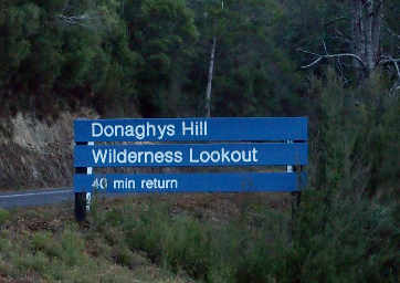 |
It's hard for me to pass up a sign that says "Wilderness Lookout," especially if it's only a twenty minute walk. We pulled a U-turn, parked, grabbed the camera and our binoculars, Dona's walking stick and some water, and took off.
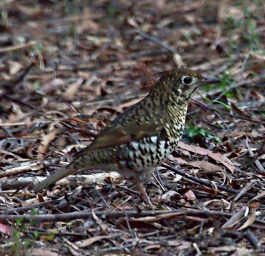
We didn't get too far before we had to stop and watch a new bird, which turned out to be a Bassian Thrush.
 |
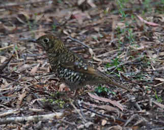 |
| Bassian Thrush |
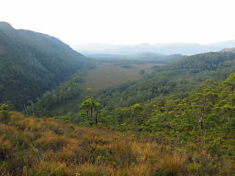
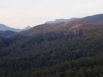
I don't know who Donaghy was, but he has one hell of a cool hill. It's a rough, steep knob, and the view from there is spectacular. I immediately wanted to camp there; what a place to watch the sun go down and come up in the morning! Unfortunately, that's not allowed. We checked our maps, and there are trails through the area; it looks like a great area for some bush-walking. On the horizon, one of the more prominent peaks is something that looks somewhat like Half Dome in Yosemite; it's known as Frenchman's Cap . It looks like a pretty "interesting" hike to get there, especially the part about the waist deep mud.
 |
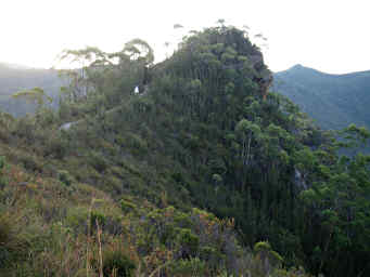 |
| Plain below Donaghy's Hill | Donaghy's Hill |
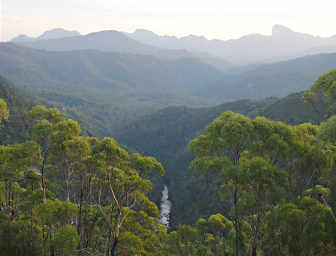 |
| Frenchman's Cap (horizon, far right) |
 |
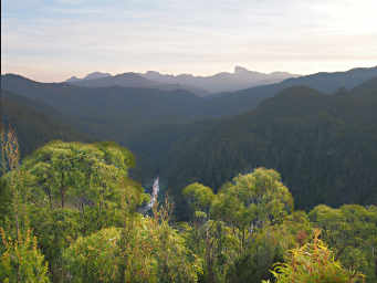 |
| View from Donaghy's Hill |
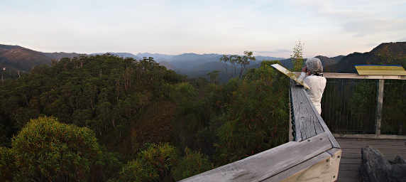 |
| Dona, Donaghy's Hill Viewing Platform |
We stayed and watched as the sun set. We really wished we could spend more time exploring this area. The three signs on the viewing platform helped one to identify the surrounding peaks; they also contained quotations from noted conservationists, and seemed to fit my mood at the time...
"Our ability to perceive quality in nature begins, as in art, with the very pretty. It expands through successive stages of the beautiful to values as yet uncaptured by language." Aldo Leopold
"Nevermore, however weary, should one faint by the way who gains the blessings of one mountain day; whatever his fate, long life, short life, stormy or calm, he is rich forever." John Muir
"The life in us is like the water in the river. It may rise this year higher than man has ever known it, and flood the parched uplands..." Henry David Thoreau
It's unfortunate the Tasmanians had to look to American naturalists for these; perhaps as time goes on they won't have to reach so far.
 |
We hiked back to the car in the fading light, then continued up and down the twisting roads on our way towards Lake St. Clair