Towards the end of September, I decided to take one last pack trip before the back country was overrun with people chasing elk. I've always wanted to explore the upper reaches of the Dearborn River, so this was an opportunity to do that.
So one evening I hastily threw together some food and packed up the panniers from my standard list. I decided to use one hard pannier and one soft one, to save some weight. I wanted the hard one so I'd have a bear resistant container for my food and the horse feed, but I didn't need two of them. The total weight of gear including four pounds of horse feed per day was about 90 pounds, so Daiquiri, my primary pack horse, was in heaven. The next morning I loaded up Poppie and Daiquiri and drove to the trailhead.
The first two miles of trail are totally boring. The trailhead is two miles from national forest land and you are traveling on a right-of-way through private ground that has been sub-divided. You pass a bunch of mini-ranchettes / summer homes on a trail paralleling a private road ten feet away.
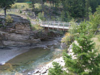
But eventually you cross a pack bridge over the river, and leave the houses behind.
 |
| Pack Bridge |
 |
 |
 |
 |
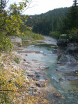
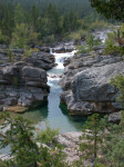
| Dearborn River |
 |
 |
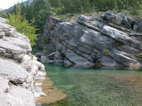
| Dearborn Country |
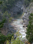
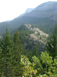
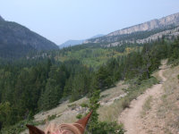
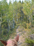
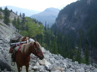
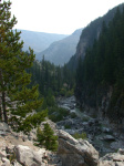
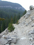
There was a hint of fall in the air, and here and there the aspens and cottonwoods were thinking about turning. The trail winds through the canyon, a well trodden path carved out of the steep hillsides.
 |
 |
 |
 |
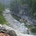 |
| Trail in Aspens | Poppie and Daiquiri | Dearborn |
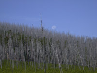
I went about ten miles up the canyon and camped. The next day I continued north towards the divide between the Dearborn and the Sun. The lower reaches of the Dearborn are still forested; the upper reaches were mostly burned in the 1988 Canyon Creek Fire. In most places, there are bazillions of young Lodgepole Pine coming back.
 |
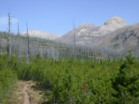 |
| 1988 Burn | Upper Dearborn |
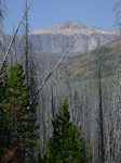
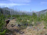
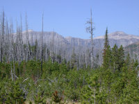
As I got farther up, I could see Scapegoat Mountain at the head of the drainages to the west. It's a big hunk of rock, and my plan was to camp at its base and climb it... somehow.
 |
 |
 |
| Scapegoat Mt. |
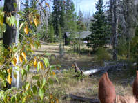
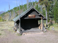
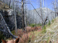
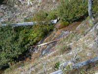
We got to the Welcome Creek Cabin, one of the Forest Service's maintenance cabins. At this point we could have continued up the Dearborn and ended up at the base of Scapegoat Mountain, but I wanted to see a little more country. So we continued on up Welcome Creek, which flows south. At its head is a pass that divides the Dearborn drainage from the Sun River drainage.
 |
 |
| Welcome Creek Cabin |
 |
 |
| Welcome Creek Drainage | Welcome Creek |
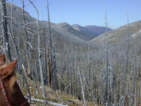
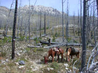
We crossed over the pass and headed down towards the Sun. In spite of the burn, it was pretty; these pictures don't do it justice.
 |
 |
| Dearborn / Sun Divide Country | Upper Sun Country |
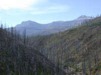
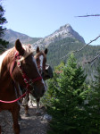
As we approached each creek, I could catch more glimpses of Scapegoat Mountain. Continuing north, we got out of the burn and into timber again.
 |
 |
| Scapegoat Mt and Halfmoon Creek Drainage | Halfmoon Peak |
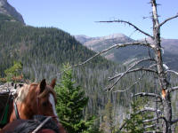
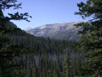
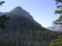
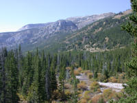
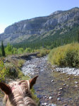
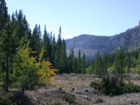
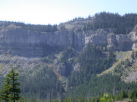
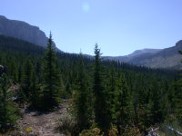
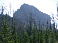
When we got to Green Fork, we turned west and headed up it.
 |
 |
 |
 |
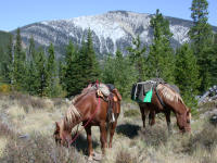 |
| Green Fork Country | Halfmoon Peak | Green Fork Country | Crown Mountain |
 |
 |
 |
 |
 |
| Green Fork Country | N end Scapegoat Mt
and Head of Green Fork |
N end Scapegoat Mt |
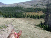
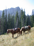
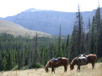
Then we climbed out of the Green Fork drainage, up over a saddle and down into the Halfmoon Creek drainage. Wow! At the head of Halfmoon Creek is Halfmoon Park, with a small hillside meadow and a spectacular place to camp.
 |
 |
 |
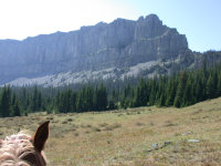 |
| Halfmoon Park | Scapegoat Mt | N end of Scapegoat Mt |
As with many often used camps in the wilderness, there were some local tame does.
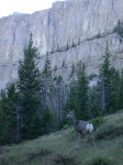 |
| Mule Deer |
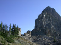
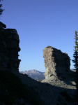
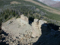
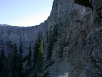
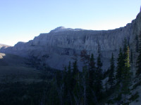
I decided to climb up to the base of the mountain and see if there was any easy way up. I didn't find one, but I did find a cool rock formation I called the gunsight.
 |
 |
 |
| Gunsight |
 |
 |
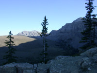 |
| East Wall of Scapegoat |
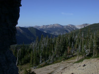
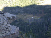
There were great views down into Green Fork and Halfmoon Park.
 |
 |
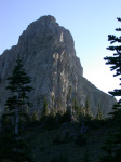 |
| Green Fork from Gunsight | Halfmoon Park from Gunsight | Scapegoat Mt |
I had a relaxing dinner watching the alpenglow cover the distant mountains.
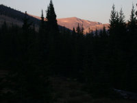 |
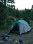 |
| Alpenglow | Halfmoon Park Camp |
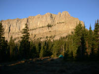
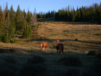
The next morning I had a treat looking out my window when I woke up. I had a big day planned, so I turned the horses loose to graze and cooked up some breakfast. After the horses had a good feed I belled them and then picketed them for the day. Then I packed up my day pack and headed off town the trail. My plan was to follow the trail around Scapegoat Mountain to where it crossed over the divide between the Dearborn drainage and the North Fork of the Blackfoot drainage at its southeast end, and see if I could climb up that way.
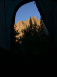 |
 |
 |
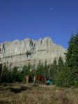 |
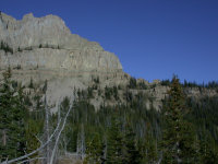
| Scapegoat from Tent | Camp below Scapegoat's N End | Horses grazing |
 |
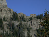 |
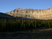 |
| N End of Scapegoat... | Gunsight | Scapegoat Summit |
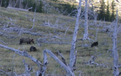
I was bipping along, enjoying the outrageous view and not paying too much attention to much of anything when I came over a small rise and pulled up short. There was a sow grizzly and two cubs about 50 yards away more or less in the middle of the trail, churning up dirt digging for something.
I froze. There wasn't exactly a good place to hide anywhere close at hand. Everything for at least half a mile around had been burned in the 1988 fire, and not much had regrown. That's why the bears were here, in this big open plain. It was full of ground squirrels or something, whatever they were digging. I reached down and made sure my pepper spray was where it belonged, then started slowly backing away. She hadn't seen me. It could be because it was cool and I still had my dark green plain wool shirt and camo pants on, and hadn't put my bright blue bandana on my head yet. Or it could be because she had her head down in a hole :-). Her kids didn't seem to care much. They were having a good time learning about digging, and looked pretty much like Pooh.
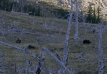 |
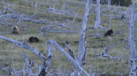 |
 |
I backed off slowly; mom kept digging, occasionally pausing to look around. After I got back a ways I started circling the hillside to my left to get above them to give them some room. I still wanted to climb the mountain, or I would have just sat down and watched for a while. I now wish I had anyway. I had the idea if I was above them they'd go down when they discovered me. Mom finally saw me, gave one "Woof!" to the cubs, and off they went, down over the hillside. She had learned the lesson about people being bad medicine well, apparently; I hope she passes it on to her kids. I was pleased, both for her and for me. I wished her and her cubs a long, prosperous and prolific life.
As they disappeared over the hump I thought "uh-oh..." if she followed the draw she'd go right by camp. The horses would love that... I hoped she'd learned to avoid camp. Since I'd put bells on the horses, as soon as they winded or saw her they'd probably jump and make some noise and she'd probably move off. She was moving faster than I could so there was no point in worrying about it. I figured she more than likely would stay in the trees and head over the gunsight notch or near there. In the third photo below, the grizzlies were in the lower of the two big flat benches in the sunlight; camp was at the bottom of the big sloping clearing on the opposite hillside.
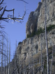
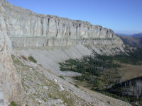
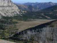
The trail wound up and over a low saddle, following the wall. As we dropped down into the headwaters of the Dearborn, we went through small parks with big boulders in them. A fun place to camp, I thought.
 |
 |
 |
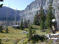 |
| Scapegoat Cliff Wall | Scapegoat SE Wall | Halfmoon Park | Boulders |
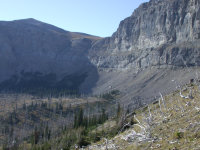
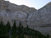
As I looked ahead, I could see a break in the wall where the mountain turned an abrupt corner. There appeared to be a couple of gullys leading to the top. The trail went pretty close to them, and I kept evaluating them as I neared. I decided one of them was worth trying. It had a short bit of rock climbing at the bottom, but then looked like nothing but steep scree the rest of the way to the top. It started at the base of a rib that diagonalled up to the right, but went directly up. The rib led nowhere, or nowhere where I wanted to be...
 |
 |
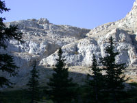 |
| Wall break | Too wet and no fun | Maybe? |
As I climbed up to the gully, the views just kept getting better.
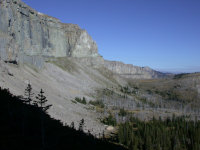 |
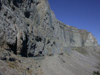 |
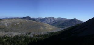 |
| Scapegoat E Wall | Upper Sun River Country |
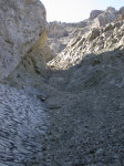
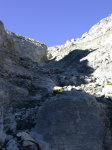
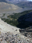
I worked my way up the gully carefully, trying to remember that I was alone and with no modern communication garbage. I like it that way. It wasn't that steep, but a slip might send you tumbling a long ways. The rock was hard and sharpe... the kind that eats boots. Even the flat surfaces, eaten away, pitted and pock-marked by eons of rain and chemical reaction, and now probably acid rain from China. It felt good to grab, as it wasn't slippery like some rock, but you could tell if you slipped you were going to shred something.
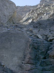 |
 |
 |
 |
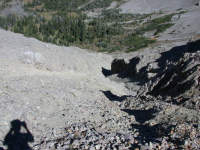 |
| Bottom of Gully | Snowfield in Gully | Part way up | Looking down | From the top |
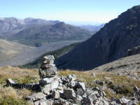
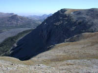
From the top, there are three obvious gullys. I built a small cairn to make sure I would find the right one if I had to go down the same way. I wasn't planning on it, but you never know. I was hoping to traverse to the end where the trail crossed over, and climb down to the trail there. But I didn't really know if it was easily doable or not. In the second photo below, you can just see the cairn in the grass above the leftmost gully.
 |
 |
 |
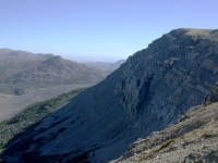 |
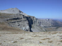
| Cairn at the top | Gullys from above | Scapegoat summit | From the gully top |
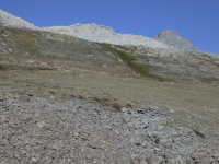
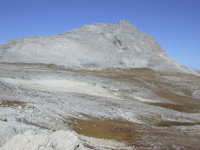
From the top of the gully, it was just a hike to the summit.
 |
 |
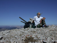 |
| Scapegoat Summit Pyramid | Gary on Top |
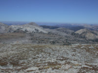
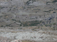
Wow! What a view. I looked down into Green Fork, and it looked like it had a headwall where you might be able to go down. I suspected this was the way one of my neighbors, Jack Hooker, sometimes takes his guests on horseback. The next day I discovered there was indeed a trail up it. The trail is just visible in the second photo, crossing the green band below the upper cliffs in the middle on the far right.
 |
 |
| Dobrota Cr to Green Fk Plateau | Green Fk Headwall Trail |
The view was spectacular, all the way around. In the first photo below, the gully I came up is where the wall makes a sharp bend.
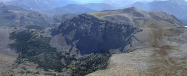 |
| NE Massif of Scapegoat |
 |
| 360 degree Panorama |
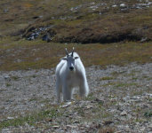
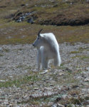
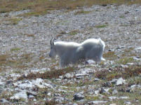
This turned out to be my day for great wildlife. On my way down as I was approaching the top of the gullys where I had come up, I wandered over a hill to find a billy goat, fresh out of the washing machine. After a bit he wandered off, and headed down to the left of where I had come up. I went over to take a look to see if it was a better route, and quickly decided a goat's idea of a safe route and mine were worlds apart.
 |
 |
 |
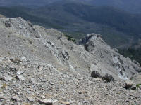
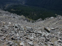
I hiked down to the southern most corner of the plateau, hoping to find a way down. When I got there, I decided it wasn't a good idea. It was a lot farther down, had a lot more exposure (although after the first 100 feet it doesn't really matter...), and it wasn't at all clear if I could even make it all the way down. So I turned around and headed back to where I came up, and went down that way. (Some of the pictures of the gully above were taken on the way up, and some on the way down.)
 |
 |
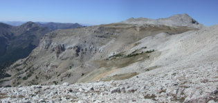 |
| Looking down SE End of Scapegoat | SW Wall, facing Dobrota Creek |
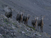
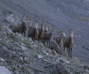
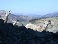
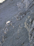
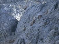
Having to go down the way I came up turned out to be fortuitous. I got to the bottom, climbed down the last bit of rock, and was getting ready to climb out of the gully when a herd of bighorn sheep showed up, about to head up the gully.
 |
 |
 |
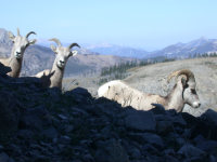 |
| Bighorn sheep, bottom of gully |
They decided they didn't want to share the gully with me, and headed back down. But not too far. They just moved over and climbed up the cliff wall next to the gully. It was impressive to watch. I was a bit concerned, as it was a herd of moms and lambs, and I didn't know how well the lambs would do on the more difficult terrain. I know occasionally natural selection takes care of the not-so-well-coordinated ones, but I didn't want to be responsible for forcing the issue earlier than necessary. So I watched them work their way up, and they all seemed to make it without any trouble. Interestingly, they didn't all go up the same way. They just scrambled up whatever happened to be in front of them, then looked around and chose a way up. I didn't see any of them backtrack, which was also impressive.
 |
 |
 |
| Bighorn sheep going up wall |
I headed back towards camp, after a very successful day.
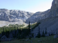 |
| Break in N wall of Scapegoat Mt |
As I was crossing the saddle between the Dearborn and the Sun drainages, I noticed that whoever had built the cairns marking the trail had definite artistic talent.
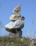 |
 |
| Cairns |
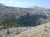
The next day I decided to see if there was a way to get up to the plateau via Green Fork, thinking that was how my neighbor took people on horseback. So I rode Poppie back that way. The trail seemed to wander up a steep slope on the north side of the valley, and then end. But I could see a band of vegetation between the two cliff bands that made up the wall, and it appeared to go right over to the plateau. I tied Poppie to a tree and continued on up, and soon picked up the trail again. Sure enough, it went on up. I wouldn't take a pack horse on it, and I'd want a very sure footed pony, and I'd probably lead my pony if I did it. In the first photo below, the trail follows the highest band of green you can see, between the two sets of cliffs.
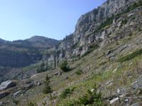 |
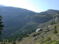 |
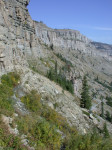 |
 |
| Green Fork Headwall | Green Fork Headwall Trail |
The terrain on the plateau is like a cross between tundra and Utah desert canyons. In places where it's really wet, it's almost like quicksand. The wash leading to the cliffs that fall into Green Fork is pocked with sinkholes, some 20' deep. No wonder there are springs and waterfalls in the cliffs.
Once on the plateau, I hiked over to Flint Mountain and climbed it, then went over to Triple Divide and climbed it. I didn't get many pictures, because my camera battery had died as I was returning to camp the day before.
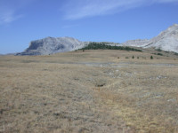 |
| Triple Divide (left) and Flint Mountain (far right) |
After I got back to camp I turned the horses out to graze. About 5:30 I looked out to check on them and I saw some big clouds spilling over the ridge above camp to the NE. Strange... it was a cloudless day as I was riding back. It took a few minutes to register -- they weren't clouds, it was smoke! Yikes!
I swapped my sandals for my boots, grabbed Daiquiri and tied her to the picket line so they wouldn't follow me, grabbed my monocular, and started hoofing it to the top of the hill, aiming towards the gunsight.
Whew! It wasn't in Green Fork, anyway. It looked to be over one more valley, in... criminy, talk about appropriate naming... Cigarette Cr, near Cigarette Rock.
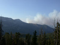 |
| Cigarette Creek Fire |
I spent quite a bit of time pondering what to do. I thought I was in a pretty good place, in that I could hoof it across the creek and get on the previously burned open hillside beyond. I decided to sit tight for the night, but pack everything I could up in case I needed to make a hasty retreat. The wind is pretty squirrely and it made me nervous although the smoke was consistently blowing east -- except when it blew over the hill towards me...
I thought I had smelled smoke early that morning, but never could identify it, and I didn't see, or notice, anything over that way when I rode over the ridge for my climb morning. Or when I came back in the evening. So either it wasn't there or I need to pay better attention.
The next morning I packed up and headed on around the mountain, passing the gully I had gone up and continuing on around. It was a pretty ride. I saw a few mule deer but not much else. As I approached the pass, I studied the mountain for ways up and down. I'm glad I didn't try to come down off that end. It looks like it might be doable, but I'd like to do some route planning from the bottom and try going up first...
I had an uneventful ride down to Dobrota Creek, except the last mile I had to cut a few trees out. On the last one, I left my backpack lieing there. We turned the corner and headed up Tobacco Creek, cutting more trees out as we went. I didn't discover my missing pack until a few miles later. I tried tieing Daiquiri to a small tree and riding Poppie back, but Daiquiri was going nuts. The tree wasn't that strong, so I decided to leave them both. It took me 45 minutes to go about three miles back, and a bit more to return.
That evening it started to cloud up a bit. By morning it was drizzling, so instead of camping lower down on the Dearborn and playing around in the canyon, I came all the way out. It was a good decision, as it got cold and stayed rainy.
All in all, a great trip! And I'd like to go back for a backpack in the lower canyon earlier in the summer some time.